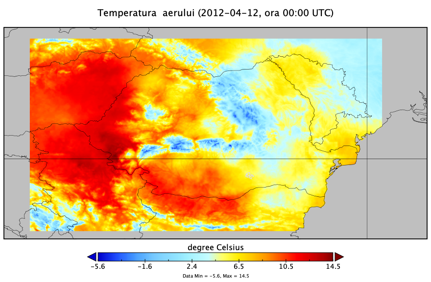
The gridded dataset was interpolated at a spatial resolution of 1000 m × 1000 m, in Stereo 1970 cartographic projection. To facilitate the use of the gridded data together with other geospatial sets of data, which have a larger extension than the Romanian territory, it was decided to archive them in netCDF format, in WGS84 Geographic projection, at a spatial resolution of 0.01 ° latitude × 0.01 ° longitude (approximately 1000 m).
The hourly grids were grouped into daily multidimensional netCDF files, which contain interpolated air temperature information for each time step (24 hours). NetCDF (Network Common Data Form) is a file format used by the scientific community for storing multidimensional geo-spatial data, such as meteorological variables (temperature, humidity, pressure, wind speed and direction, etc.).
Interfaces for accessing netCDF files are implemented both in the packages of the main programming languages (R, Python, Matlab, IDL, Octave), but also in the most popular GIS applications (Quantum GIS, ArcGIS, Saga GIS, Panoply, etc.). An example of using Panoply for visualisation one netCDF file whith hourly data is presented in Figure 1.