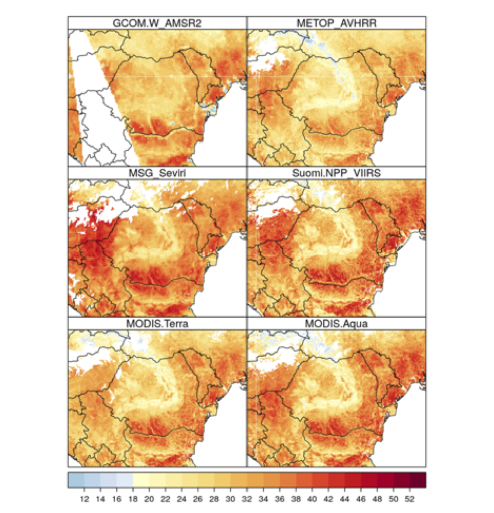
The existing LST products were analysed in terms of availability ( time-series length), spatial and temporal resolution. Also, the methods and tools necessary to obtain and preprocess the selected products to achieve the objectives of this stage (download, file conversion, data reprocessing, etc.) were tested (Table 1).
Table 1: The LST satellite product analysed
| Satellite | Senzor | Spatial resolution | Temporal resolution | Period | Source |
| MSG | Seviri | 3.1 km | 15 min | 1983-present | https://cmsaf.eu, https://landsaf.ipma.pt/en/ |
| Terra/Aqua | Modis | 1km | 12 ore | 2000-present | https://modis.gsfc.nasa.gov/data/dataprod/mod11.php |
| Terra | ASTER | 100 m | 16 day | 2000-present | https://lpdaac.usgs.gov/products/ast_08v003/ |
| METOP | AVHRR | 1.1km | 12 ore | 1978-present | https://landsaf.ipma.pt/en/ |
| Suomi-NPP | VIIRS | 750m | 12 ore | 2012-present | https://data.nodc.noaa.gov/cgi-bin/iso?id=gov.noaa.ncdc:C01412 |
| Landsat 7 | ETM+ | 60m | 16 zile | 2000-present | https://www.usgs.gov/land-resources/nli/landsat/landsat-collection-1 |
| Landsat 8 | TIR | 100m | 16 zile | 2013-present | https://www.usgs.gov/land-resources/nli/landsat/landsat-collection-1 |
| GCOM-W | AMSR2 | 15km | 12 ore | 2012-present | https://suzaku.eorc.jaxa.jp/GCOM_W/research/resdist.html |
| FY-3A | VIRR | 1km | 12 ore | 2009-present | https://satellite.nsmc.org.cn |
Considering the characteristics of the analysed products, for the fulfilment of the objectives of this stage, products provided by the MSG geostationary satellite sensor were used as high temporal resolution information (15 min). The LST data extracted from the information from the Terra / Aqua polar satellites were used to improve the spatial resolution (1km) of the Seviri LST time data.