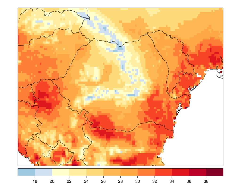
The spatial distribution of temperature is largely determined by the relief, the main determining factor of the particularities of the local and regional climate. The elevation plays the most important role in the spatial distribution of the air temperature. Underlying surface characteristics (land cover) is also an important factor that characterizes the thermal regime.
Several auxiliary variables with the continuous spatial distribution were used as ancillary data to reconstruct the missing LST data:
- DEM-derived predictors based on the 1-km average of topography from the USGS SRTM30 DEM;
- urban areas derived from CORINE ;
- temperature skin extracted from the ERA5 Land reanalysis dataset;
- surface solar radiation SARAH 2.1 satellite product.
The DEM-derived predictors were derived to take into account both the latitudinal and altitudinal distribution of temperature, as well as the direct influence of the major water bodies.
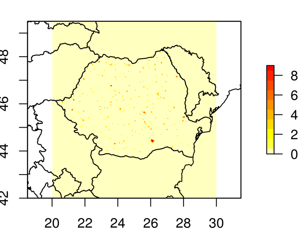
The effects of the urban environment on the spatial distribution of temperature was explained by the predictor representing the number of pixels classified as urban over a circle of 3-km radius (Figure 1).
The skin temperature (Figure 2) and global surface solar radiation were the dynamically auxiliary variables, available at hourly time scale.